Nature and Sports Activities
AIR SPORTS
Eskişehir is among the most important air sports centers in Turkey due to its aviation background and suitable weather conditions. THK (Turkish Aeronautical Association) İnönü Uçuş Eğitim Merkezi (İnönü Flight Training Center) was established by order of Atatürk in 1936 and is among the most important centers that give aviation sports training in Turkey. At its camp highly qualified trainers provide various trainings in air sports, and there are also opportunities to do these sports. The sports that can be done at this center are gliding, parachuting, paragliding, microlight, ballooning, and hang gliding. The trainings are scheduled at certain periods in May-September when the weather conditions are most appropriate. The İnönü Flight Training Center is established on an area of 1,200,000 square meters and has two land-lawn runways. These are a 900 meter-long North-South (34-36) and a 1100 meter-long East-West (29-11) runways. The stone buildings, constructed for accommodation purposes in 1937 in the Russian architectural design, are still used; additional buildings were constructed due to increasing demands. With its 390-bed students’ dormitory, dining hall, canteen, public housing for 120 people with 2-5 beds in each apartment, a hangar for the maintenance and repair of aircrafts and a swimming pool, the İnönü Flight Training Center is the first air sports center in Turkey and one of the notable air sports centers in the world. You can obtain further information on air sports from the THK İnönü Flight Training Center.
THK İnönü Meydan İşletme Müdürlüğü - Tel : 0222 591 21 12-13
Paragliding
.jpg)
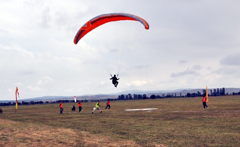
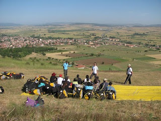
Paragliding is among the most popular types of air sports in Turkey and in the world. It gives you the feeling of adrenalin and the freedom to fly in the air without boundaries like birds. These might be the reasons why paragliding is so popular. The advantage of paragliding in terms of equipment and logistics over other types of air sports may contribute to its popularity.
Eskişehir is a popular location in terms of military and civil aviation. The THK İnönü Flight Training Center, which is among the most important centers that provide paragliding training and flights, is located in Eskişehir. There are all types of accommodation and dining facilities and logistic facilities for paragliding at the THK İnönü Flight Training Center. In addition, its geographical location is advantageous, and its proximity to hills is suitable for flying and vaulting, its suitable weather conditions make it an important place for paragliding training and flights. With free or paid training programs in May-September, those interested in aviation are provided with paragliding training and flights and every year hundreds of young people are given the opportunity to learn paragliding and to take the first steps into aviation. In addition, many aviation clubs and societies are given the opportunity to train and fly in this center.
Gliding
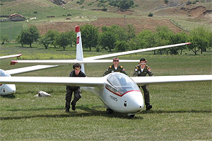
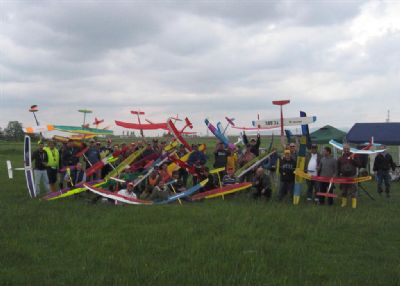
Since the first flight of Wright brothers, aviation has improved more than any other field and has started to push the borders of space. In accordance with this improvement in aviation technology civil and sports aviation has caught up with this technology and every day new inventions are made. Gliding has been one of the types of sports aviation that has improved the most. Actually, people who are not directly involved in aviation perceived gliding as an interesting and inconceivable field of sports because the first question that comes to mind related to gliding is “How can an aero plane fly for hours even for hundreds of kilometers without an engine?” The number of those asking this question is decreasing. The THK İnönü Flight Training Center is among the most popular training and flight centers in many areas of aviation including paragliding.
Since 1936 the THK İnönü Flight Training Center has provided their first aviation training for many of the leading Turkish aviators and training and flight opportunities in gliding for many young people. Gliding has been supported as a sport, and the center provided logistic support with the hangar, dormitory, dining hall, gliding fleet, airport and other opportunities. Thus, gliding has become very widespread and has improved thanks to the Turkish Aeronautical Association. The THK İnönü Flight Training Center, the only place for gliding in Turkey, hosts hundreds of people in summer and enables flight training in the skies of Eskişehir.
Hanggliding - Microlight
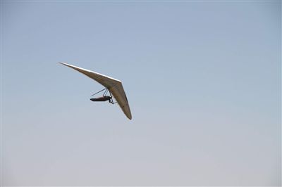

What about flying in an aerial vehicle that is a combination of a glider and a paraglider? The hanggliding vehicle is an enjoyable vehicle that gives you the feeling of adrenalin and freedom of paragliding with the safety of flying with a fixed wing. With hanggliding, you can take off from a high hill by running and stay in the air for hours and fly long distances. Although hanggliders fly without an engine like the glider, it can go up thousands of meters by catching the hot air rising from the ground and the air hitting the hill. Microlight has the same aerodynamic structure of the hanggliding vehicle, and simply put, is a hanggliding vehicle with an engine and has a flight platform for both pilot and passenger. The advantages of microlight are that it has an engine, fly for a longer period of time and can take off from many places. What about doing these sports in Eskişehir? The THK İnönü Flight Training Center is one of the few centers in Turkey where you can do hanggliding and microlight flights. It is possible to receive training in this sport and become a professional with aerial vehicles at this center. One-time guest flights are also an option for aviation lovers.
Parachuiting - Ballooning
Enjoying gliding like birds and flying fast! Doesn’t this sound amusing? Or hanging for hours in the air in a balloon and enjoying the view. The sun and clouds, blue skies... It is possible to do all these, which are priceless for aviation lovers, in Eskişehir.
You can receive the necessary training for ballooning and parachuting, just like for all fields of sports aviation, at the THK İnönü Flight Training Center or just enjoy a one-time guest flight.
HORSE RIDING
.jpg)
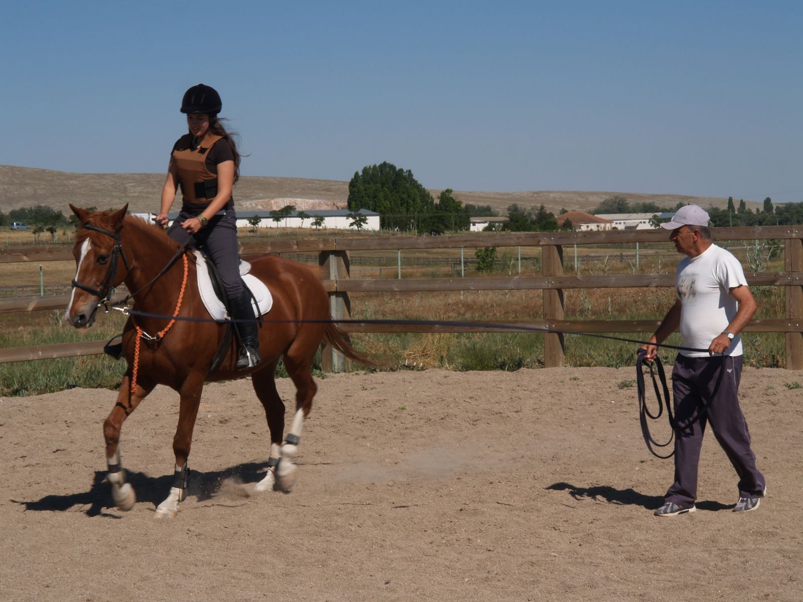
You can hire horses or ride horses in Mahmudiye, which is the most important area where purebred Arabian Horses are bred in Turkey. There is a 2020-m long, 25-m wide turf track and a 1800-m long, 20-m wide sand track and a 400-capacity open tribune here. Local horse races are held in autumns. Mahmudiye, which is an important training area for race horses thanks to its climate and soil structure, has been used for horse breeding since the period of Sultan Mahmud. Special trainers do their 1- or 2-week trainings in our city before participating in major races because the air, water and soil in Eskişehir have a considerably positive effect on the anatomy and physiology of horses. In addition to private horse-breeding activities, Anadolu Tarım İşletmesi (The Agricultural Enterprise of Anatolia) is breeding horses in Mahmudiye where there is also the Turkish Jockey Club Insemination Unit.
Horse Riding Center
The Center is on Eskişehir-Kütahya highway. It is an ideal place to ride horses at weekends. The center has been established in 1996 on a 45-acre area, has a 50x80 open- air manege and a 17x40 indoor manege, and serves with 23 horses. Training is provided with professional trainers. This club, which is affiliated with the Horse Riding Federation, organizes four competitions in a year. The club also has a 4-km cross track, which is the only track in Turkey.
[A] Kütahya Karayolu 18. km Takmak Köyü Mevkii
[T] 0222 413 21 21
[M] info@eskisehiratlisporkulubu.com
HIKING
.jpg)
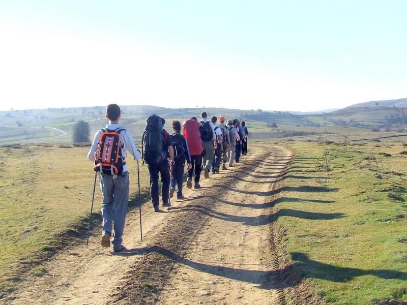
Avlakkaya Hiking Track
Location: Road to Mihalgazi , Above the Beylik Bridge
Transportation: Buses from Eskişehir to Mihalgazi
Length: 4 km
Avlakkaya-Bozdağ Village-Muttalıp Hiking Track
Start of Route: Road to Mihalgazi, Above the Beylik Bridge
End of Route: Muttalıp Municaipality
Transportation: Buses from Eskişehir to Mihalgazi
Length: 19 km
Avlakkaya-Lale Stream-Muttalip Hiking Track
Start of Route: Road to Mihalgazi, Above the Beylik Bridge
End of Route: Muttalıp Municaipality
Transportation: Buses from Eskişehir to Mihalgazi
Length: 19 km
Tandır Village-Kozlu District Hiking Track
Start of Route Tandır Village
End of Route: Kozluk District
Transportation:Buses from Eskişehir to Sarıcakaya
Length: 5 km
Bozaniç Road-Avlakkaya Hiking Track
Start of Route: The turn to Bozaniç on the way from Eskişehir to Sarıcakaya
End of Route: Mihalgazi Municipality
Transportation: Buses from Eskişehir to Mihalgazi
Length: 7 km
Kent Orman (The City Forest) Hiking Track
Start of Route: Odunpazarı Municipality
End of Route:Kent Ormanı
Length: 19 km
MOTORCYCLING
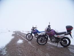
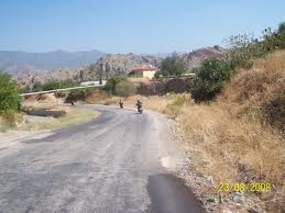
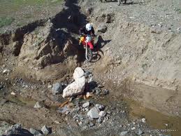
Classical Mayislar Route
This is the classic route of Eskişehir for Enduro athletes who like bends in roads, clean air and nice views. It is ideal for cyclers who would like to take a few-hour tour.
On the route you pass through Hekimdağ Passage, Dağküplü, Mayıslar, Sarıcakaya, Sakarılıca, and then get back to Eskişehir. It is an about 70-km route. You can have a break at Ahmet’in Kahvesi (Ahmet’s coffeehouse) with a glass of mineral water and tea.
Türkmen Mountain Fire Watchtower Route
It is one of the best routes for those who miss natural life and want to wildlife. You may witness natural lives of animals such as deer, condors, rabbits, and squirrels which you are normally used to seeing in the zoo. The only thing you need to do is to keep your eyes wide open.
The track follows the route of Kızılinler, Gökçekısık, Aşağı Kalabak, Yukarı Kalabak and Bozkuş fire watchtower. It would be useful to get directions from the last village to arrive the watchtower which is about 80 km. There are many turns on the roads in the forest so there is a risk of getting lost. It is important to use a GPS while travelling in this area.
Beyyayla Route
It is a suitable route for enduro riders who like bends, nice scenes and offroad travelling. Motorcyclers are required to take the Muttalip road, and pass through Hekimdağ Passage, Dağkuplu, Mayıslar, Sarıcakaya, Beyyayla and finally the cave. It is a nearly 150-km long route. It is advisable to take directions to the cave in Beyyayla village. The cave, which is a couple of kilometers away from the village, is worth seeing and taking a breath. It is also possible to camp for a night.
BIKING
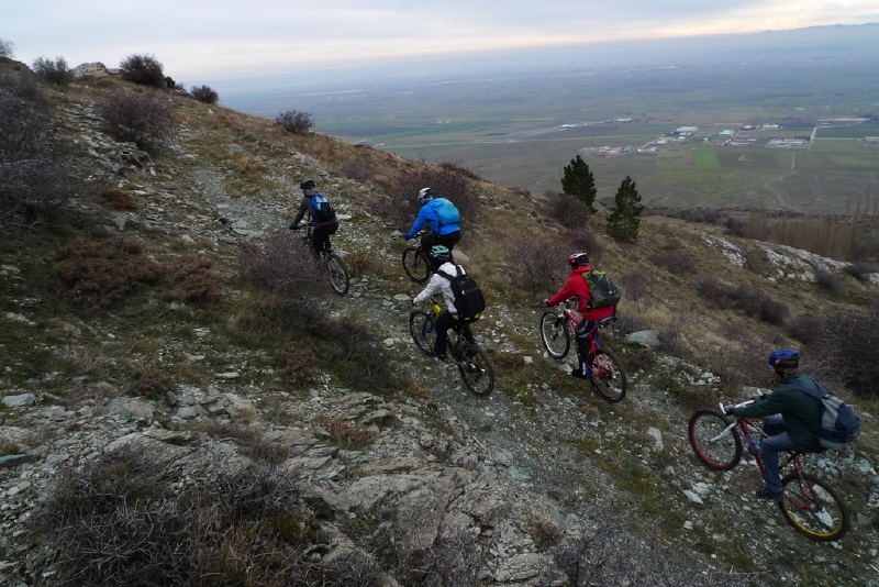
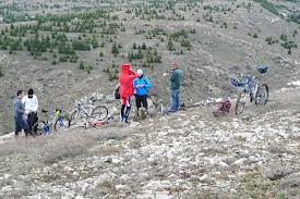
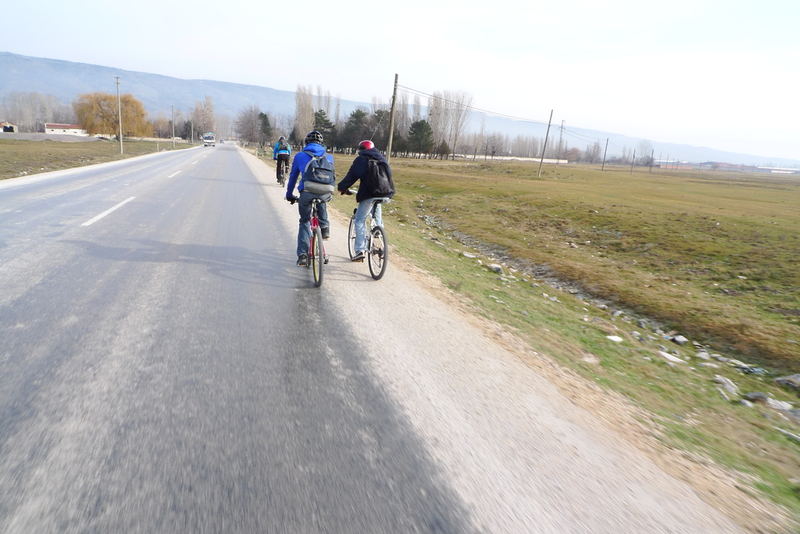
Although there are bicycle roads in the city center, biking fans mostly prefer mountain biking. Hit the pedals to seek local flavors and cultural heritage, and to discover people and nature with an utterly different traveling experience. There are many routes to make pleasant discoveries on the bicycle saddle.
Avlakkaya
Avlakkaya, 35 km from Eskişehir, is suitable for many nature sports. Biking fans use this route for improving balance. It is a challenging track that requires technique. It is a nice track where you can spend a weekend. Its ice-cold water and intact nature fascinate people. Access is possible through biking and walking because it is in a dense forest area. Adrenalin fans prefer
motorcycling. Avlakkaya can be reached via the road to Bozdağ village, Yarımca village and Sakarılıcaları.
Kalabak Village, Türkmen Mountain, Çoban Plateau And Surroundingsi
You can see many villages until you reach Yukarı (Upper) Kalabak village 50 km from Eskişehir when you take the road to Kızılinler from Kütahya highway. After Aşağı (Lower) Kalabak Village, you reach Yukarı Kalabak village. This is the spring of Eskişehir’s famous drinking water, Kalabak. Even in streams runs Kalabak water. You can drink water from the fountains in the skirts of Türkmen Mountain. You can see colorful butterflies in spring.
Tandir Village Forest Area
You need to take the Sarıcakaya road to get to Tandır village, which is 40 km form Eskişehir road.
Saricakaya-Mihalgazi-Sakarilicalari Road The Training Track
You need to follow the Sarıcakaya road without going into Muttalıp village. Once you climb over Bozdağ, a long descent is waiting for you. Then you reach right into Sarıcakaya. The road between Mihalıçcık and Sarıcakaya is straight, but a little bumpy. A compelling and hard climb is waiting for you after the Sakarya Valley. Following a 16-km climb, you reach Taşköprü village. After having a bird’s eye view of Eskişehir at an altitude of 1200 m, you can ride down to Muttalip village. The total length of this track is 120 km and a competent athlete can complete this track easily in 4.5 hours.
Eskişehir Kütahya Phrygian Valley Track
On Eskişehir-Kütahya highway, after passing the Porsuk dam, you take the road to Sabuncupınar village. After passing this nice village, you arrive at Fındık village. This valley provides an experience similar to cycling in Cappadocia. Don’t forget to drink the famous water of Incik village on the way. Following the railway, you get to Kızılinler village and then turn back to Eskişehir from Kütahya-Eskişehir highway. The 135-km track can be completed in 5 hours. It is not only a suitable track for training but also a good opportunity to experience history and nature.
Eskişehir Osmangazi University and Kent Ormani (The City Forest)
Orienteering and cross championships are held in these woods behind the Medicine Faculty of Eskişehir Osmangazi University. One of the most suitable tracks for orienteering is in the Osmangazi woods. You can see athletes here while they are training throughout the day. This track is close to the city and is over 100 km.
Sarisungur Pond Track
You need to proceed 18km on the Eskişehir-Seyitgazi road until the Sarısungur sign. When you turn, the descent will take you to the Sarısungur pond. There are a number of tracks around the pond. Mountain Biking Criterium or Crosscountry races are held here.
Bozdağ Karadere TRT Transmitter Track
The track where the first mountain biking race of Eskişehir was held in 2005 can be reached by passing through the Muttalip village and climbing up to Bozdağ village. The cyclers start from Bozdağ village, and make a circle between Bozdağ and Karadere village TRT transmitter. It is a nice 25-km training track with many up and downward slopes. If you would like to feel
adrenalin and excitement, you can camp on the summit. Furthermore, the 15-km downward slope will add to your excitement
ROCK CLIMBING
This sport requires balance, aesthetics, flexibility and strength. Basic training for rock climbing is provided in Eskişehir. The most widely used areas in Eskişehir are Bozdağ district of the Sündiken Mountains, Kızıltepe district of the Sakarılıca thermal area, and Taştepe district of the Kızıltepe and Mayıslar villages. Kızılinler and Sivrihisar rocks are preferred for trainings of rock climbing.
Kızılinler Rocks - Coordinates: 39° 30’ 45.50” N 31° 14’ 43.60” E
The rocks are located on the right and left sides of the historical bath in Kızılinler village, 15 km from the city center. These rocks are very suitable particularly for beginners.
Sivrihisar Rocks - Coordinates: 39° 30’ 45.50” N 31° 14’ 43.60” E
.jpg)
This area in the north of Sivrihisar is an important garden of climbing. It is planned to use the area for international competitions in the near future. Campers should take adequate water with them since there is no water at the campsite. The routes are very clean since they have been used for years. However, there are broken rocks in some parts. Important routes are in Sineklikaya, Balkaya and Kuleler.
Karakaya - Coordinates: 39° 30’ 51.76” N 31° 14’ 29.12” E
(1).jpg)
Karakaya is a nice village close to Kaymaz town which is on the 60th km of the Eskişehir-Ankara highway. It is very popular with its granite rock formations suitable for rock climbing. The best seasons for rock climbing are spring, summer and fall. As most of the routes are on the northern slope, it is shadowy the whole day except in the morning. Because the winter is very cold, it is hard to climb even when the weather is rainy or snowy.
Student clubs organize festivals here in Mays. Climbers from universities in Ankara and Eskişehir come here at weekends.
CAVING
More and more people are fascinated by the dark paradise which stimulates the feelings of curiosity, mystery, quiver and excitement. There are many caves in Eskişehir where you can experience the pleasure of touching thousands, perhaps millions of years past and be carried away by the magic of the stalagmites and stalactites. Caves that have been the shelter of many living creatures throughout history are waiting for cave fans in Eskişehir. To do either horizontal or vertical caving, You can get in contact with clubs in the city for caving.
Yarımkaya
Type: Horizontal Cave
Depth: -7 m
Height above sea level: 1250 m
Length: 26 m
It is located near the Kayı Village of Han, on the left of the Değirmen creek. It can be reached via the route of Eskişehir-Cifteler-Han-Kayı village or Eskişehir-Seyitgazi-Bardakcı-Karağac-Kayı. A road leads to the front of the cave which is located 1.5 km east of Kayı village. It is a cave that has evolved horizontally as a sinkhole. The entrance is 20 m above the valley ground and is in the form of a -3 m steep well.
Yelin Üstü
Type:Horizontal Cave
Depth: -90 m
Height above sea level: 1120 m
Length: 420 m
Located in the southeast of the Sivrihisar Mountains, the cave is close to Kayakent town.
The cave is connected to a second section with a narrow tunnel on the right of the entrance containing small downward slopes. The floor of this gallery is covered with large blocks of rock and the walls are covered with dripstones. This gallery leads to two more galleries with the same formation. In ancient periods cisterns and basins to collect water dripping from the ceiling were built. It is stated that cultivation soil and archeological remains were found here, which suggest that this cave was used in ancient ages.
Afarın Sinkhole
Type: Vertical Cave
Depth: -49 m
Height above sea level: 1190 m
Length: 64 m
It is located in the Sarıcakaya Plateau, which is 10 km north of Sarıcakaya. This cave developed on a wide plain in the form of a plateau deeply carved by the Sakarya River. It can be reached via the Sarıcakaya-Yenipazar road. This stabilized road reaches the valley after 5-6 km, the way just near the cave leads to Yenipazar village. It has an entrance like a well.
Beyyayla
Type: Horizontal Cave
Depth: -265 m
Height above sea level: Not Known
Length: 438 m
It is located to the north of Eskişheir and 1.5 km northwest of Beyyayla village. The cave can be reached via the Sarıcakaya-Beyyayla road which leads to the village. From here a 1.5-kmlong narrow road leads to the mouth of the cave. The village stream, entering the dripstone and leaving it on the other end, forms an 8-m waterfall and forms the beginning of the Düden stream. Right after leaving the cave, the Düden stream runs through a narrow and deep canyon valley. In the cave there are small shallow lakes and stone drips. It is an active cave where the formation process continues.
Çalpınar
Type: Horizontal Cave
Depth: Not known
Height above sea level:1380 m
Length: 13 m
It is located to the northwest of the Kale hill (1490 m) which is 2 km north of Dağcı village. The village is 7 km north of Mihalıçcık. The cave is on the right slope of the Pazar stream which joins with Kocaçay, a distributary of the Porsuk River and can be reached by taking the road to Dağcı village road in the 5th km of the Mihalıçcık road. From the village, a 3-km stabilized road leads to the cave.
Dumanlıkaya
Type: Vertical Cave
Depth: -45
Height above sea level: 1000 m
Length: 52 m
It is located near Ballık district in 12-km east of Inönü. The cave is formed on a carstic plateau split by the Nallık and Kayala streams that run into the Sarısu stream, which is a branch of the Porsuk River. It can be reached via the Eskişehir-Inönü-Kütahya road or the Ankara-Istanbul-Eskişehir railroad. It is a 30-minute walk from Ballık. It is located in a steep slope area, which shows characteristics of a plateau, in the south of Inönü. Its entrance is a 35-m well, and the cave then continues downwards and ends at -45 m from the entrance..
Düdensuyu/Düdenönü
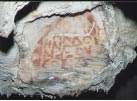
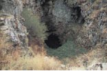
Type: Horizontal Cave
Depth: Unknown
Height above sea level: 1150 m
Length: 462 m
It is connected to the Düdensuyu stream near the Beyyayla village of Sarıcakaya. The Düdensuyu stream enters the cave from the southeast opening and leaves from the northwest opening. The gallery formed by the Düdensuyu in the body of rocks is very wide. The stream forms small lakes in the cave. To pass these small lakes it is advisable to wear boots in seasons when the waters are high.
Eşekini
Type: Horizontal Cave
Depth: -6 m
Height above sea level: 1170 m
Length: 36 m
It is located on the right slope of the Çayboğazı stream 2 km north of Sorkun village which is 15 km northwest from Mihalıçcık. Taking the MihalıçcıkNallıhan road to the Sorkun village and going along the Çayboğazı stream for 1.5 km, you arrive right above the cave. A 10-minute walk from here will take you to the cave. It is a fossil cave which has completed its formation. It has two entrances.
Gürleyik 1
Type: Horizontal Cave
Depth: +2 m
Height above sea level: 1050 m
Length: 77 m
Gürleyik 2
Type: Horizontal Cave
Depth: -30 m
Height above sea level: 1060 m
Length: 34 m
It is located on the right slope of the Kayalıboğaz stream, which is 2 km south of Mihalıçcık. It can be reached via the Mihalıçcık-Nallıhan road. It is a 45-minute walk from Dinek town. It is a hanging fossil cave which has completed its formation. There are many formations (stalactites, stalagmites, columns, walls and curtain dripstones) in the cave.
Güvercin İni
Type: Vertical Cave
Depth: -30 m
Height above sea level: 1230 m
Length: 53 m
It is located in the Sarıcakaya valley together with the Afarın sinkhole and the Sarıkız sinkhole. It is in 1.5 km northeast of the Afarın sinkhole. It has developed vertically in ancient Bilecik lime stones. The entrance measures 9x5 m and resembles a well. It has two more entrances that measure -25m and -15m.
Hacıhüsrevin
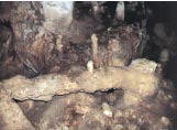
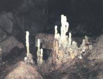
Type: Horizontal Cave
Depth: +75 m
Height above sea level: 910 m
Length: 83 m
It is located to the south of Inönü close to the water reservoirs. A road leads to the front of the cave. You can take the Eskişehir-Inönü-Kütahya road or the Ankara-Eskişehir-Istanbul railroad.
The cave extends horizontally on the northeast-southwest direction. There are many blocks, pebbles and wall dripstones in the cave. The mouth of the cave is close to its center.
Heybeci
Type: Vetical Cave
Depth: -31 m
Height above sea level: 1060 m
Length: 36 m
It is located above the area where Heybeci (Çat) Stream divides into two branches in 1 km east of the Gürleyik Cave. The road to this cave passes from Dinek town situated on the way from Mihalıçcık to Nallıhan. A 15-minute walk from Dinek leads to the cave. Heybeci developed vertically. In the last section of the cave, there are dripstones on the walls. The cave ends with a chamber full of rubbles.
İnönü Caves
Type: Horizontal Cave
Depth: -48 m
Height above sea level: Not known
Length: 235 m
The cave is located to the south of İnönü (Sarısu) Plain. Eskişehir-İnönü-Kütahya route and Ankara-Eskişehir-Istanbul railway is taken to reach this cave. It has a very large mouth which can be seen from a long distance.
Kara Mağara
Type: Horizontal Cave
Depth: -13 m
Height above sea level: 12300 m
Length: 390 m
It is located on the northern slope of Sulununkıran Hill in 2 km North of Karacaören village of Alpu. The road from Alpu to Gökçekaya Dam leads to this cave. The stabilized road passing from Kuzavya and Gümele villages reach to Karacaören. A half-an-hour walk from Karacaören village is required to get to the cave. The cave is just in front of the Sakarya River and Gökçekaya Dam. It has two entrances, one facing the north and the other facing the south. Most of the formations in the village are covered with soot as there used to be human settlement here. There is thick cultivation soil on the ground of the cave which was probably used on prehistoric ages.
Karlık Sinkhole
Type: Vertical Cave
Depth: -18,5 m
Height above sea level: 1690 m
Length: 24 m
It is located on the Karlıkkale Hill (1737 m) to the northwest of the Arayit Mountain (1819m), located to the southeast of the Sivrihisar Mountains. The sinkhole, close to the Yelini and Yelüst caves, is situated to the northwest of Karacaören village of Sivrihisar. You can take the Sivrihisar-Ballıhisar-Çaykoz road or the Günyüzü-Kayakent-Karacaören-Çaykoz road to the cave. You can get to the café after a 2-hour walk from the village. The first entrance is a -13-m steep descent. The cave looks like a key hole and underwent a multiperiod formation.
Kızılçukur
Type: Horizontal cave
Depth: Not Known
Height above sea level: 1065 m
Lenght: 293 m
It is located in the woods of the Kokarkuyu district of Süleler village. Towards the center the cave narrows down to a small hole through which one can only crawl. This hole is called “Darboğaz” (Narrow throat) and leads to the second section of the cave. From here on, the cave continues as the main artery and ends with a large debris area.
Kötüfatma
Type: Horizontal cave
Depth: +17 m
Height above sea level: 1150 m
Lenght: 110m
It is located to 3 km east of the Kara cave. Between the two caves runs the Girdap stream through a canyon-shaped deep valley. The entrance faces the Sakarya River and can be reached via the Alpu-Bozan-Büzdüğ or AğaçhisarKandamlamış-Otluk road. It is a 1-hour walk from Atçım district of Otluk village. The cave has three entrances. It is a fossil cave that has completed its formation.
Koçakkıran
Type: Horizontal cave
Depth: -8, +13 m
Height above sea level: 1190 m
Lenght: 350m
It is close to the Kötüfatma, Karamıkini and Kara caves. It is located to 1 km north of the Koçakkıran Hill (1358 m) close to Açtım district of Otluk village. It takes a 1-hour walk on a steep hillside from Açtım to reach the cave.
The entrance consists of two parts, both facing the Sakarya River, which are connected but were formed in different periods. The first section is densely covered with dripstones. This section turns to the west and is connected to the second section with a very narrow passage. Here blows a very strong wind from inside to outside.
Sarıkaya
Type: Horizontal cave
Depth: -35, +16 m
Height above sea level: 1050 m
Lenght: 591m
It is located on the left side of the Çatalkaya stream, a branch of the Domya stream, which is in 1 km east of Yalımkaya village. It can be reached via the Büydüz-Sasa-Yalımkaya road or the Mihalıçcık-Gürleyik-Yalımkaya road. The cave is a 1-hour walk from Yalımkaya village.
The cave consists of three interconnected galleries and three floors. It has two entrances with different heights. Rich in formations, the cave has the stalactites and stalagmites which are generally black and brown. Many bats live in the cave. The cave has entrances close to the stream bed in a sheltered place. Remains and shapes in the cave show that it had been used in both prehistoric and historic ages. Among the remains found especially in the upper floor and in front of the entrance are many flinty chips, ceramic and tile pieces and human bones.
Manasır
Type: Vertical cave
Depth: -368 m
Height above sea level: 1695 m
Lenght: Not Known
It is located on the Mansır plateau, in the northwest of Mihalıçcık. Located on the roadside of the way from Mihalıçcık to Nallıhan, the cave is a 1.5-2-hour walk from Sorgun Village or Dinek town. A sinkhole lies at the bottom of a big collapsed dolin. Depending on the thickness of limestones, its depth varies and reaches about -368 m. The sinkhole bends at -130m and ends with a steep downward slope.
Külçeini
Type: Horizontal cave
Depth: -35 m
Height above sea level: 550 m
Lenght: 167 m
It is located on the left of the Kurudere stream running between the Kocaçal hill (983m) and the Küçükbursa hill located to 2 km northwest of the Çalkara village, which is about 30 km southwest of Eskişehir. The entrance faces the Sakarya River. The cave can be reached via the Eskişehir-Inhisar road. It takes a 1-hour walk from the village to the cave. The width of the cave reaches 18 m and the height reaches 5 m. The floor of the gallery is covered with soil, rubble and big collapsed blocks. In the gallery which is the deepest part of the cave (-35m), there are formations of stalactites, stalagmites, columns and wall dripstones.
Mayıslar
Type: Vertical cave
Depth: -102; +5 m
Height above sea level: 520 m
Lenght: 356 m
The cave, 4.5 km from Mayıslar village, is located on the north side of the Gacani hill (660 m), which overlooks the Sakarya River. It is 440 m above the valley ground. It can be reached via the Sarıcaka-Nallıhan road. This road goes through Mayıslar and you need to take the stabilized road to the Gacani hill at the 4th kilometer of this road. Then, a 30-minute walk along a steep slope takes you to the cave. It has two entrances which are close to each other. One of them is like a 5-m well. It has 5 steep downward slopes that are between 2 and 12 m. The cave consists of narrow but high and curving galleries.
Şaban’ın Sinkhole
Type: Horizontal cave
Depth: -46 m
Height above sea level: 1565 m
Lenght: 107 m
It is next to the Şabanpınar fountain in 3 km south of Küçük Sasa village. The cave developed on the ground of a hole which is on the hillside that separates the Domya stream and the Porsuk River. It can be reached via the Eskişehir-Mihalıçcık road where you need to take the road which leads to Çırçır-Akhisar-Sasa-Yalımkaya (Domya) villages from Bozan town. The entrance is -6 m and resembles a well. It ends with a curved ground at -46 m. There are small lakes in the cave, which is a semi-active sinkhole.
Tozman Sinkhole
Type: Horizontal cave
Depth: -70 m
Height above sea level: 1085 m
Lenght: 770 m
It is located on the northern border of the Tozman Valley of Yenipazar about 15 km northwest of Mihalgazi. The cave is on a high plateau area deeply split by the Sakarya River. It can be reached by the Eskişehir-Sarıcakaya-Mihalgazi-Çayköy-Inhisar and Eskişehir-Söğüt-Inhisar-Çayköy-Mihalgazi roads.
Ulubük
Type: Horizontal cave
Depth: -10 m
Height above sea level: 1240 m
Lenght: 90 m
It is located in the Ulubük plateau, 2 km south of the Alapınar village, which is 30 km southwest of Alpu. The cave is situated on a high hill that separates the Sakarya River and Porsuk River basins. The cave that faces the Sakarya River can be reached via the Ekişsehir-Alpu-Gökçekaya dam road. At the 20th kilometer of the road to the dam parts a 10 km stabilized road and first leads to the Ulubük valley then to Alapınar village and leads to Sakarı Karacaören. The road goes right to the front of the cave. The entrance is -4 m and resembles a well. This entrance was widened by people and developed on a distinctive crack. It is close to the surface (2-5 m). It consists of three interconnected galleries. One gallery, a fossilized soil and sand cellar, leads to a second gallery with intense dripstone formations (stalactites, stalagmites, columns, walls and curtain dripstones, and ponds). This section is 1-3 m high and leads to a big gallery through a narrow gallery. The cave is rich in formations. Towards the end of the cave human bones and ceramic pieces were found.
Yelini
Type: Horizontal cave
Depth: -26 m
Height above sea level: 1105 m
Lenght: 271 m
It is located in the southeast of the Sivrihisar Mountains. It can be reached via the Ankara-Eskişehir or Ankara-Polastlı-Yunak roads. The cave is split into many galleries and rooms through dripstones and thick blocks that fell from the ceiling. It is covered with beautiful dripstones.
This cave resembles the Yelinüstü cave and has signs and remnants that show that it had been used by humans for long years. Flintstones, chips, axes, and javelin tips were found in the hills and fields in front of the cave. Various tools, bones, and pieces of pottery were found in the soil in the entrance. There are ponds and cisterns deeper than 2 m and made of bricks in the cave and red writings on the walls. Bats live in rooms that cannot be easily accessed by humans.


